
Voting Technology
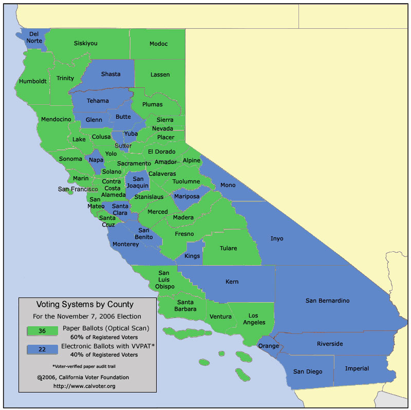
Map of California Voting Systems, November 7, 2006 election
This color-coded map shows the type of voting system to be used by each
California county in the November 7, 2006 General
Election. The map represents the main system used by each county in its
polling places, and may not reflect the systems used for absentee, accessible,
or early voting. A detailed directory of
voting systems is also available.
Click
here for a larger map image
View historical county-by-county directories (since 2002) and statewide maps of voting systems (since 2003.)
Site Map |
Privacy Policy | About
Calvoter.org
This page was first published on September
17, 2006 |
Last updated on
November 28, 2007
Copyright California Voter Foundation, All Rights Reserved.
